ISBN : 978-93-83684-84-7
Edition : Paper Back
Categories : Geography, Text Books
Delivered 2-5 Business Days
Easy Returns and Replacement
Payment Options : (Credit Card , Debit Card , Net Banking)
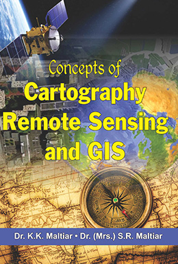
The book entitled Concepts of Cartography, Remote Sensing and GIS has been written keeping in view for preparing students of Indian Universities to understand the basic techniques of Cartography, Remote Sensing and GIS in a very simple way. The book focuses on some selected aspects such as Maps, Scales, Map Projections, Simple Astronomy, Photogrammetry, Aerial Photography, Spcae Remote Sensing, Fundamental principles of GIS, etc. Graphical and mathematical constuctions of map projection have been dealt in much greater detail. The authors have tried to explain every aspect in the simplest possible way so that the students may grasp easily the fundamentals of Cartography, Remote Sensing and GIS. Worked out examples and exercises have also been added to some chapters where it has been felt necessary. The book will be useful to a large number of students offering PG Diploma in Cartography including Remote Sensing and GIS courses. The book also serves the purpose for practical geography at undergraduate and postgraduate levels.
| Weight | 850 Kg. |
|---|---|
| Year | 2019 |
| Pages | 652 |
| Edition | Paper Back |
| Author Name | Prof. (Dr.) K.K. Maltiar & Prof. Dr. (Mrs.) S.R. Maltiar |